An Caisteal and Beinn A'Chróin - Hike Report
| Munro Number: | 14 + 15 |
| Date: | Jul 31 2022 |
| Ascent: | 1045m |
| Distance: | 14km |
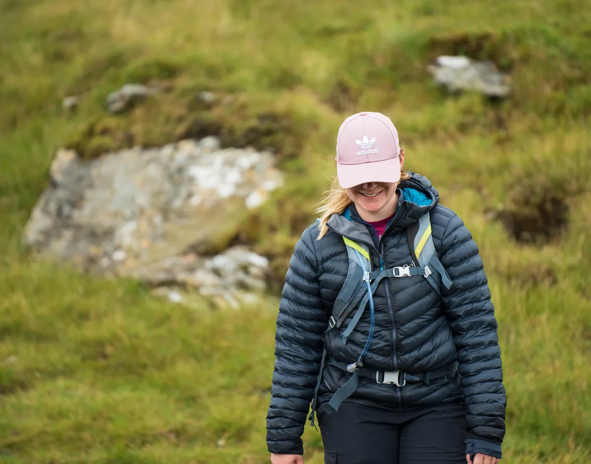
Yesterday’s hike up An Caisteal and Beinn A’Chrón was the first time both Donna and I managed to get up into the mountains for a few months. This gap between the mountains almost certainly contributed to our lack of fitness and made the double-bagger of a day slightly more draining than we envisaged.
It was an early wakeup call at roughly 5:30 am, followed by a quick shower and getting Lewis into the car and hitting the road.
We reached the car park and started down what we thought was the path, only to spot the real path in the adjacent field. Now, I’m fairly certain based on the footprints that we aren’t the only ones to have been caught out by this false start…
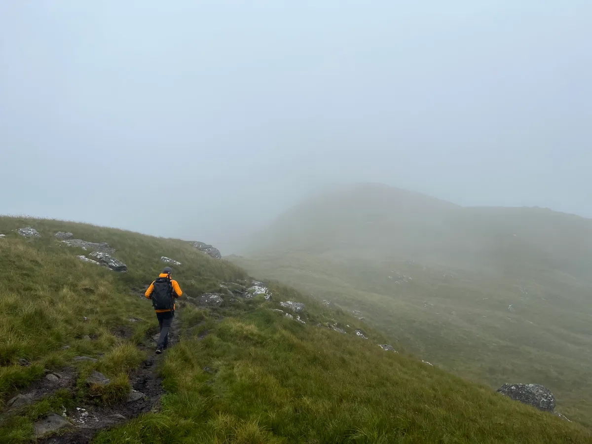
The hike up was miserable.
The constant mizzle soaked both us and our path up and made it for one of the boggiest treks we’d ever encountered in the mountains.
The boggy trail and rain remained constant through the first 2-3 hours of the hike up An Caisteal. We followed the route on over Sron Garbh and eventually the footing underneath became more pleasant.
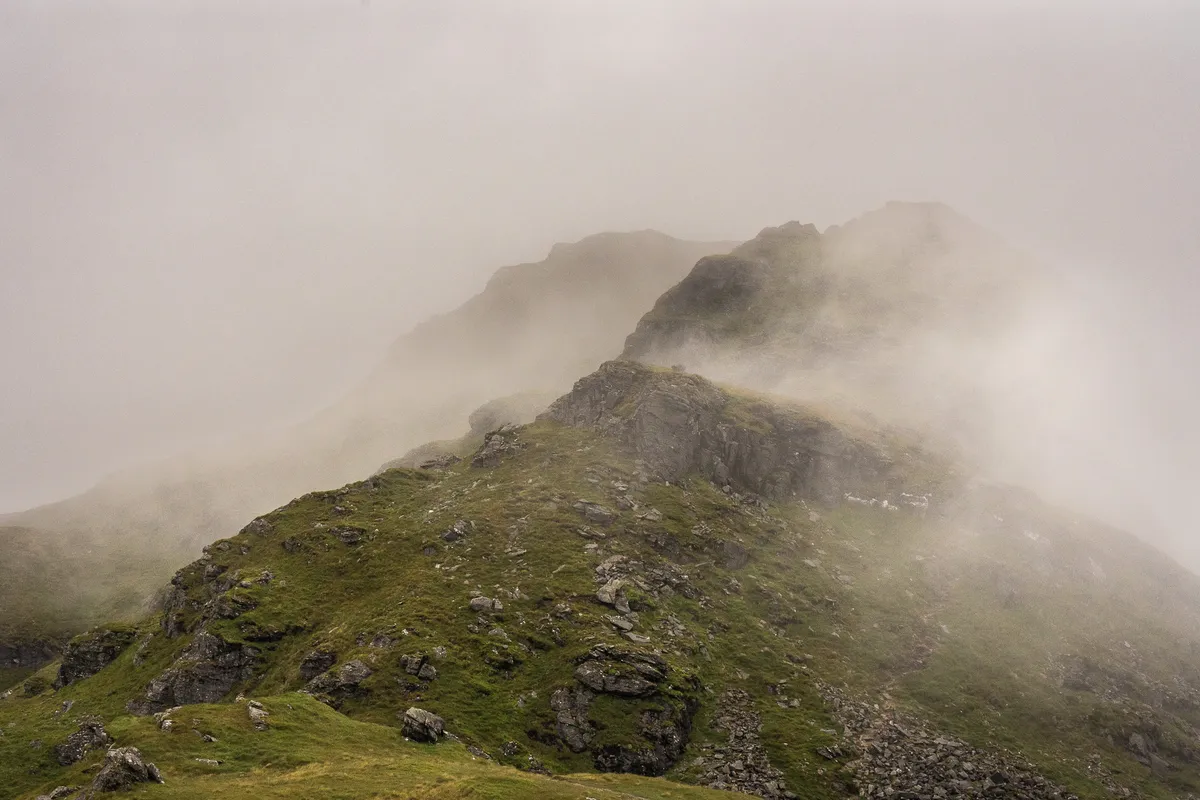
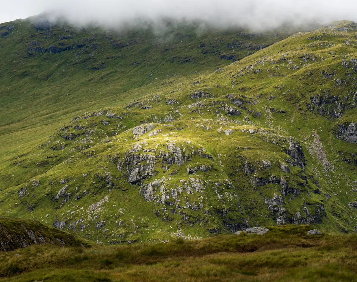
Reaching the summit provided the same level of views many fellow hill walkers will have undoubtedly seen before - complete cloud cover and visibility of less than 50m…
We did the traditional tap of the cairn and scarpered off the exposed summit to try and find a more sheltered place to scoff our jam sandwiches.
We decided to descend to the lowest point of the route between both An Caisteal and Beinn A’Chrón and take a bit of a rest.
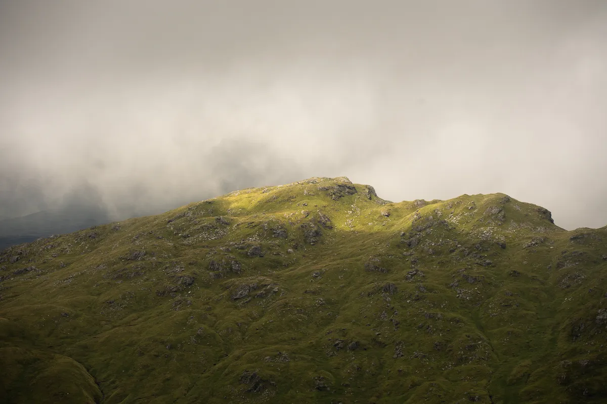
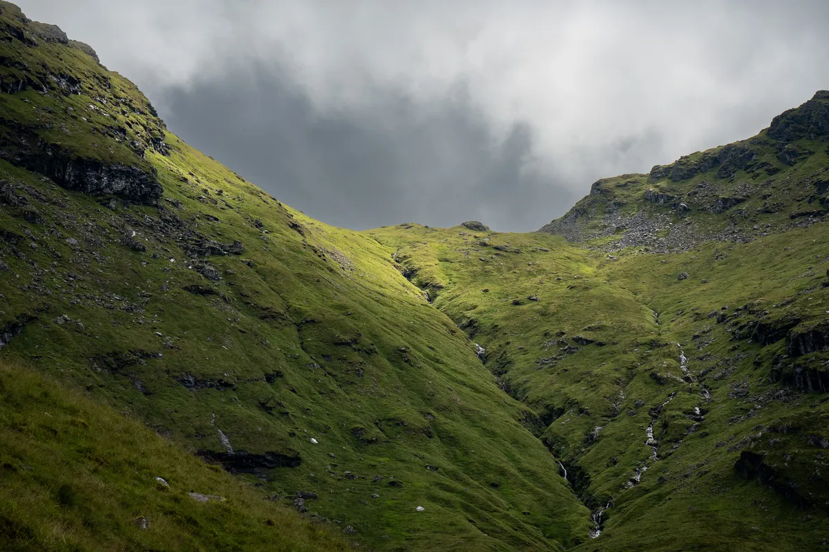
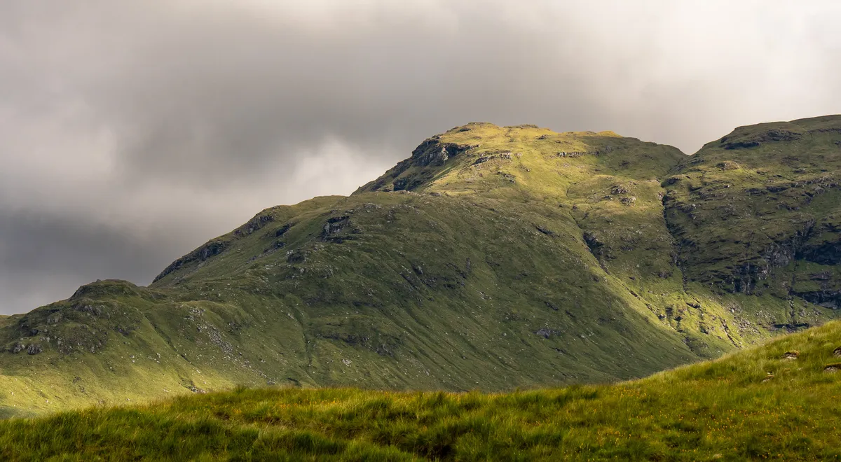
After a bit of rest the rain had started to relent and the cloud cover was starting to give small glimpses of the top of the Beinn A’Chrón ridge that we would be ascending onto.
Turning back on ourselves on the path up, we could see that the peak of An Caisteal was starting to break through some of the clouds and give us our first real glimpse of the mountain we had just climbed.
After a quick chat with some of the other hillwalkers, we made our way up and round the rocky face of the Beinn A’Chrón ridge and reached one of the trickiest scrambles we’d yet faced.
At this point, I should give the disclaimer that I am not all that comfortable with heights and if you slipped at this point of the scramble it would be game over.
Having to lift Lewis up and over this ledge whilst also balancing perilously on some footholds that weren’t quite as sure as I’d have liked certainly got my heart racing a little faster than usual.
I was, for lack of a better phrase, absolutely shitting myself after having successfully managing to lift Lewis up and over and then proceed to try and get myself and my fairly heavy camera bag up and over this point in less-than ideal weather situations.
Thankfully, all three of us managed to get past this particularly life-threatening part of the hike relatively unharmed - although Lewis did crack a nail on his paw which ultimately resulted in a lot of blood.
At this point, the hardest parts of the hike were complete. The ridge across to the highest summit of Beinn A’Chrón was a fairly pleasant and quick hike which was much needed as my legs were really starting to cramp up.
We eventually reached the summit which we tapped and then again headed off the peak to find somewhere more sheltered to take a quick break.
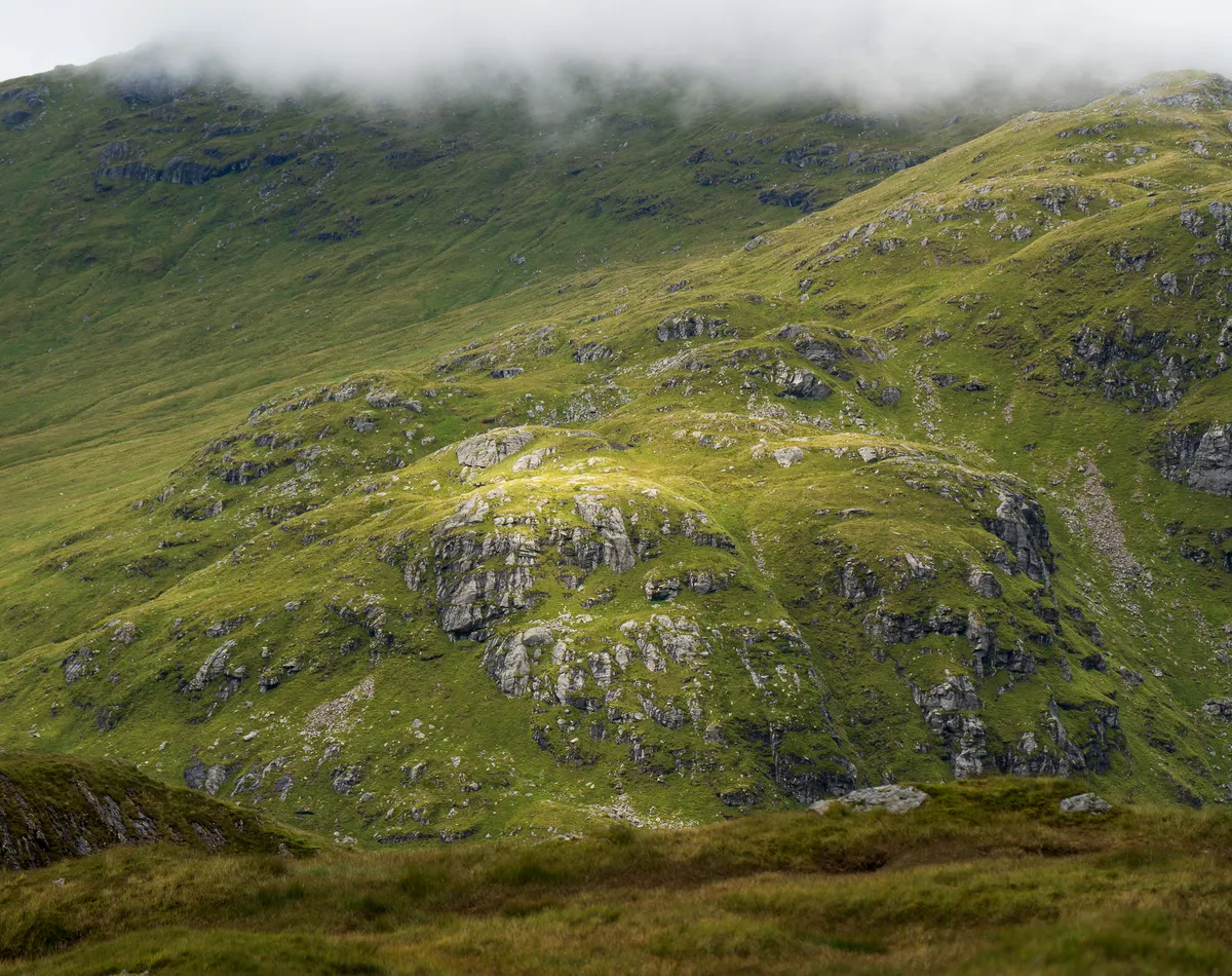
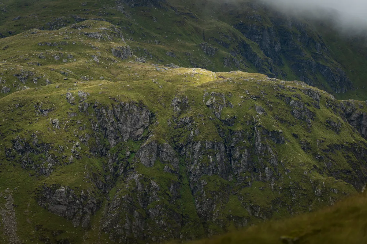
Some of these views were pretty epic, I’m hoping some of these photos did them justice.
It should be noted that we avoided doing the false summit of Beinn A’Chrón which would have been an additional 5-10 minutes to hike up the 40m and instead opted to follow the original route we had planned off the mountain and down into the valley.
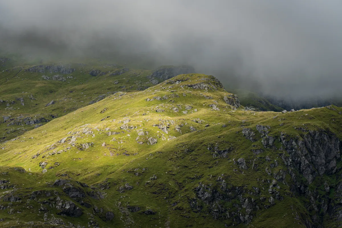
We found a nice spot to sit down and enjoyed the weather changing for the better. With the clouds lifting and bursts of sun breaking through the clouds, I managed to capture a few of my favorite photos of the year so far with my Tamron 70-180mm 2.8f lens.
If anything, this was the perfect opportunity to test out the lens and capture the kinds of photos that I had in mind when I made this purchase.
After devouring our Colin the Caterpillar sweets, we then started the long trek down into the valley.
The path down was pretty eroded although not too challenging compared to other mountains we’ve faced. The most treacherous part was the boggy slopes which may have caught me out and landed me on my arse in a fairly dramatic fashion, much to the amusement of Donna…
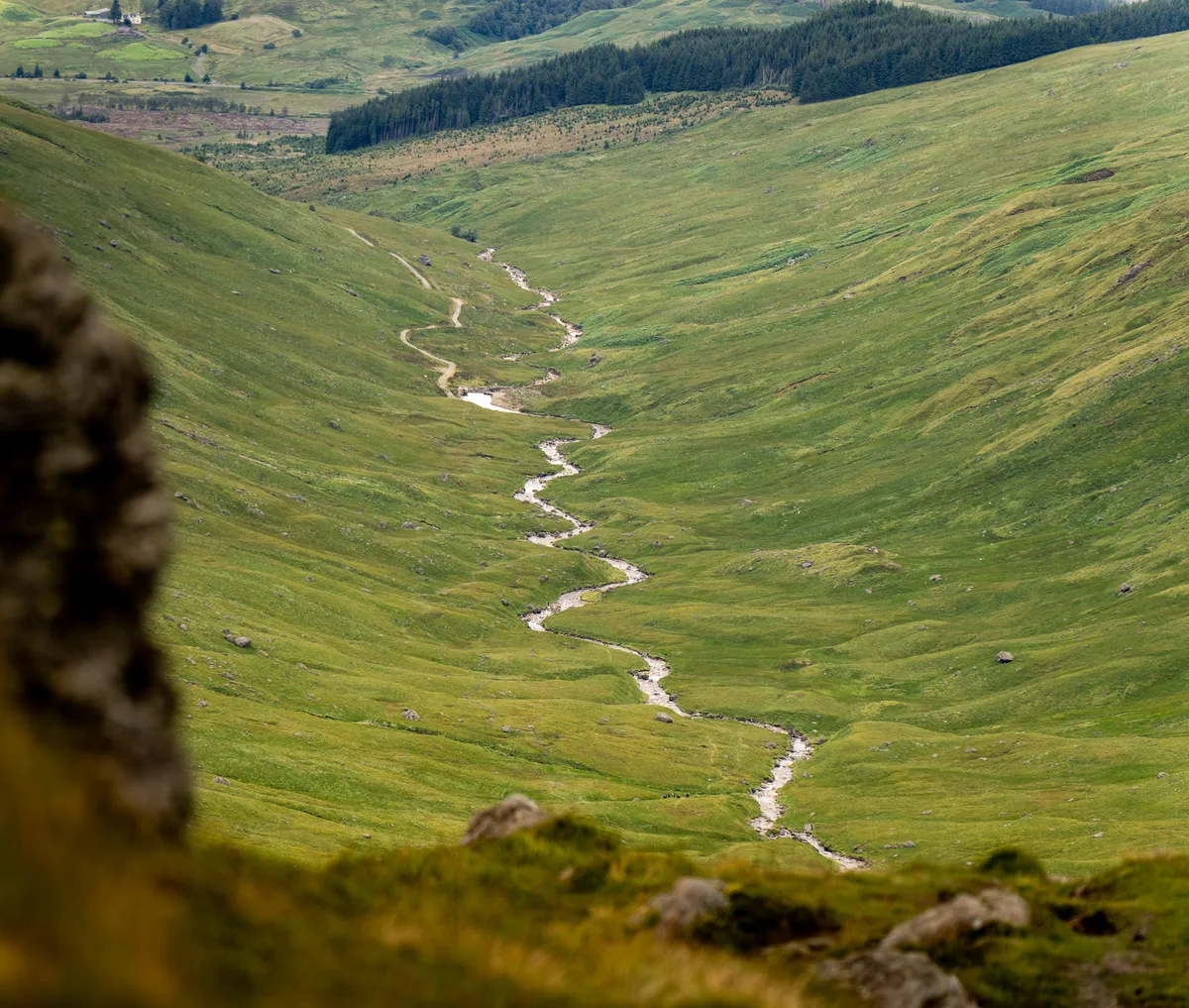
We hiked the remaining 6km through the valley next to the river exhausted and fairly quiet. It felt like the trees at the end of the valley were remaining as small as they had started regardless of how long we walked.
But eventually, we hit the road by the small dam and the rest of the way home was quick and easy.
Overall, we are not sure how long the hike took, purely because both of our apple watches proved that they aren’t really all that good for hiking. If we had to guess, we would say it took roughly 7-8.5 hours in total and we were back up the road by around 7pm.
Thanks for reading and I hope you enjoyed! 👋