Càrn Na Caim and A'Bhuidheanach Bheag - Hike Report
| Munro Number: | 24 + 25 |
| Date: | 29th Jan, 2024 |
| Ascent: | 824m |
| Distance: | 19km |
| Moving Time: | 5:13:43 |
| Total Time: | 6:23:58 |
| GPX File: | Download |
Route Map
Route Elevation Profile
Hàlo agus Fàilte! Hello and Welcome - This is our hike report for Carn na Caim and a’Bhuidheanach Bheag up in Drumochter in the Scottish Highlands.
We’d been watching the weather reports for a few weeks now and just biding our time and waiting for the gap between the back-to-back winter storms that seem to be battering Scotland this month. Thankfully, yesterday had the perfect combination of low winds and limited precipitation that made it a perfect day out in the hills!
This week’s hike has us bagging 2 fairly straightforward munros:
- Carn Na Caim - 941m - The rocky hill of the curve
- a’Bhuidheanach Bheag - 936m - The little yellow place
We’d been told that some of the eastern Munros were better suited for wintery conditions due to their fairly feature-less appearance. A snowy coat over the top of them makes them far more interesting overall!
Our day started with an early morning wake-up at 5:30 am. We’d packed our kit the night before, making sure to use my new interactive Munro gear checklist to ensure we had everything we needed.
We got a quick bite to eat, and a coffee and threw our stuff into the van and headed onwards to the starting point.
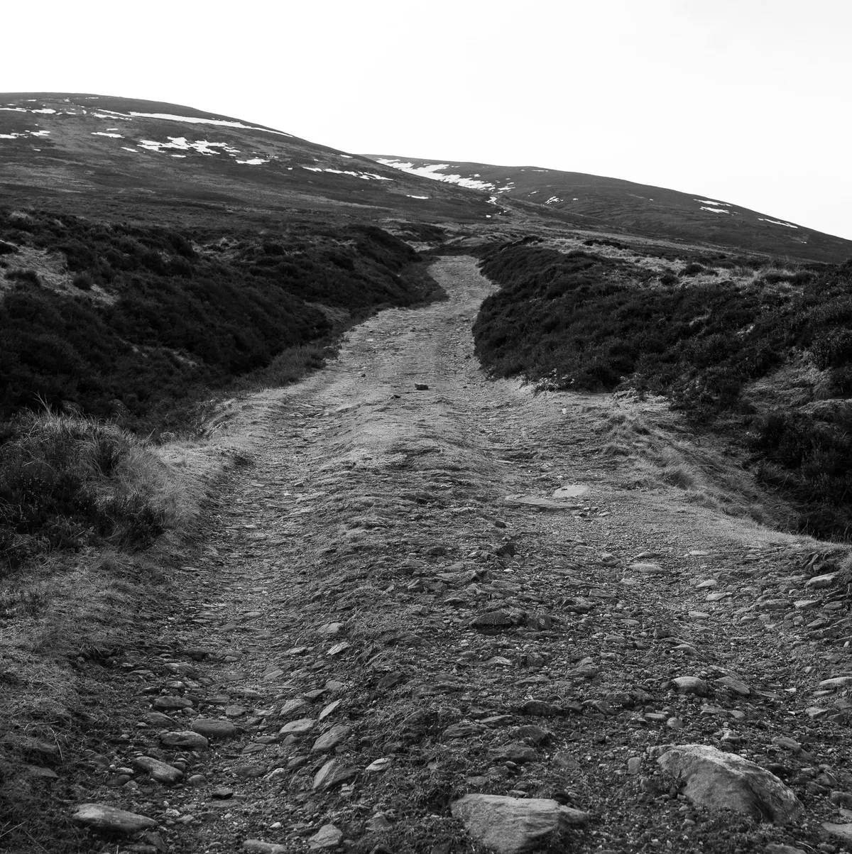
An artsy shot of the path up
The parking point is parking bay #87 along the A9 which is sizeable enough for plenty of vehicles to park. It took us roughly 2 and a half hours to get there from our home in Glasgow and thankfully traffic at that time of the morning wasn’t unbearably bad.
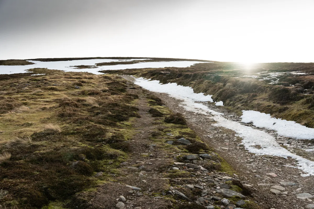
The sun creeping over the peaks
We donned our gear and headed across the busy A9 towards the gate that marks the start of the walk.
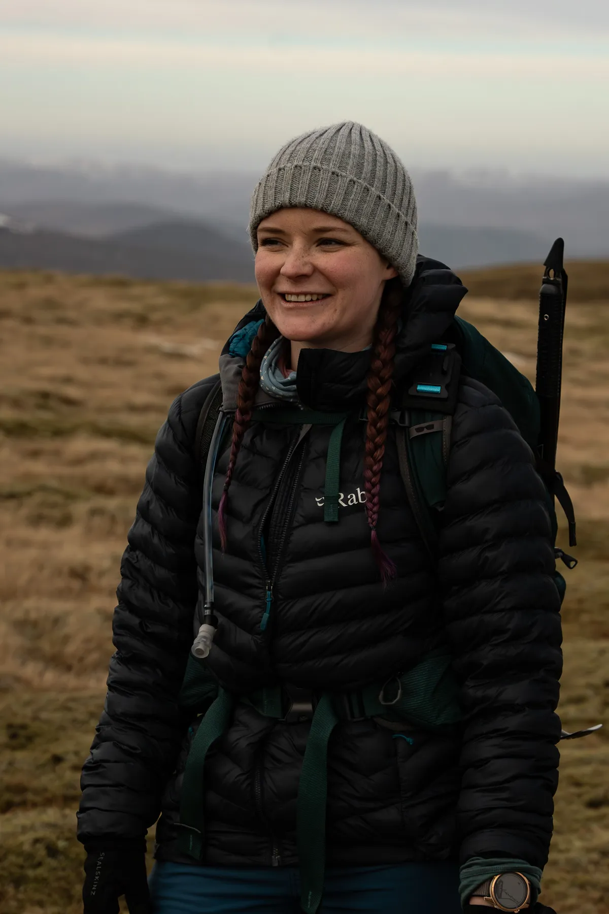
Donna in her element
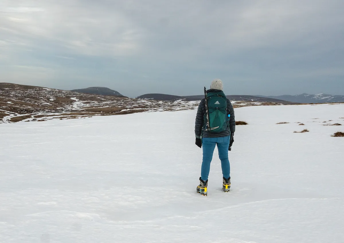
The path up these two Munros is well defined, albeit covered in very slippy snow patches that we mostly tried to avoid. The snow cover wasn’t significant enough for us to warrant pulling out the crampons just yet.
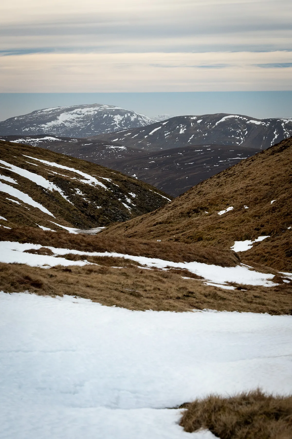
Looking down between the ridges
This was a bit of a weird hike given you do most of the elevation at the start, and then it’s mostly a flat(-ish) hike between the 2 Munros. In total, there was just under 900m of elevation over the day, with about 450-500m of that being the initial climb, and the rest being made up of the dips on the path heading over to a’Bhuidheanach Bheag once you’d topped out Càrn Na Caim.
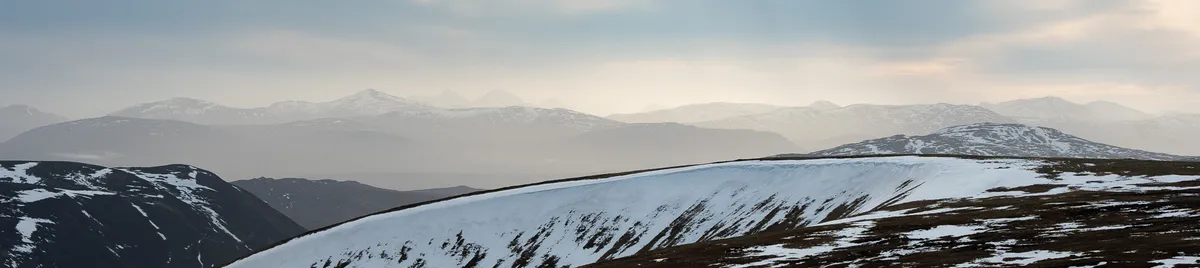
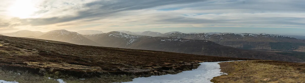
some dreamy skylines
We eventually got up and over the initial ascent and then veered off to the left to head towards Càrn Na Caim’s summit. Our GPX files felt slightly off though, it ended up taking us over and to the left of the actual path that follows the metal fence posts. Not too much of a detour, but following the path would meant for easier going on the legs…
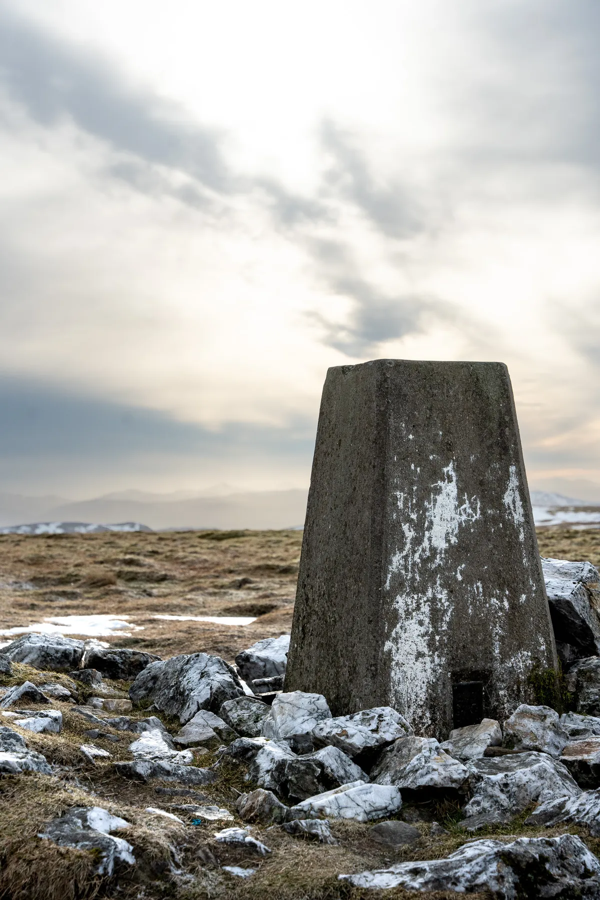
The cairn for a'Bhuidheanach Bheag
The summit of Càrn Na Caim doesn’t have too much to offer in terms of views. It’s really easy to see why experienced baggers recommend doing these two when there is a winter coat on the mountains.
We snacked on a bit of fudge, grabbed a few drone shots and then started to make our way back along the path towards a’Bhuidheanach Bheag.
Heading back off the mountains
Between the two Munros, there were a few snow-filled dips to have fun in. We partook in a little bit of bum-sliding which, actually wasn’t as comfortable as you’d imagine. The snow had definitely gone through a few thaw and freeze cycles over the past few days and made for a bumpy ride…
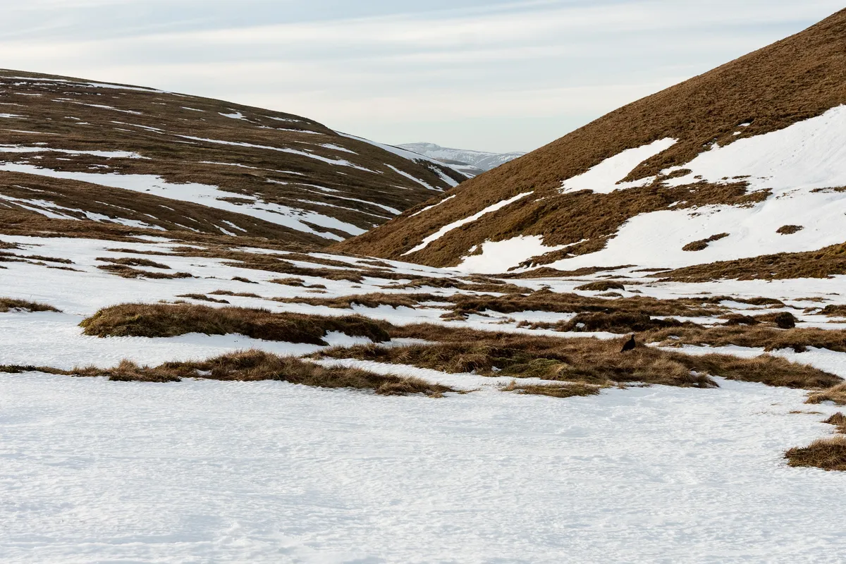
A sly photo-bomber in the mid-right of the image...
We eventually started our ascent of a’Bhuidheanach and made the mistake of not putting our crampons on sooner. We tried to stubbornly continue with just our boots over some fairly slippy patches of frozen snow and I’ve now got a very bruised and sore knee after taking a bit of a tumble.
Thankfully the knee was still mechanically sound, and after a quick chat with another couple, we topped the mountain, had our sandwiches and then started heading back down and off the mountain.
Incredible sunset views as we made our way back to the van
Overall a great day out! I would agree with the recommendation that these should be done in full-snow conditions to get the most out of the hike. The overall distance of just under 19km made this a good challenge for our fitness so be prepared for a bit of a longer walk.
I do think our overall fitness is improving though, we’d have typically been a lot more stiff and tired the day after a hike like that, but logging into Tuesday and being able to function wasn’t entirely out of the question!